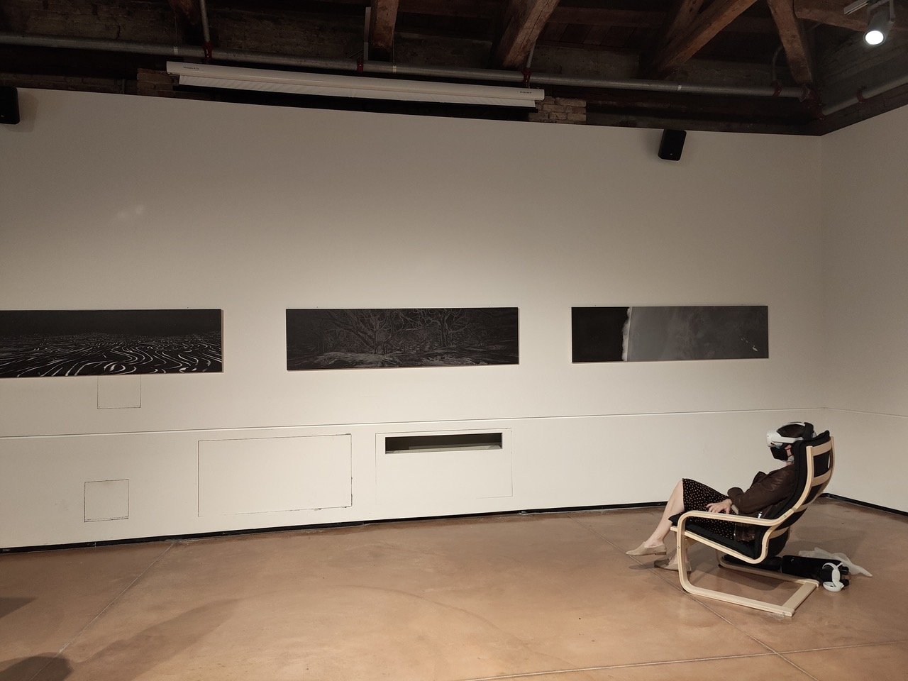
Artist Lena Herzog commissioned me to develop a series of animations for Last Whispers, an immersive oratorio with music composed by Academy Award winning sound designers. It expanded into a 55 minute video and multi-format immersive experiences (VR, dome projection, spherical 8K museum installation, and large scale exterior wall mural projection). The challenge was to breathe context-appropriate visuals into what originated as a purely audio piece. My role evolved beyond map-maker to Art Director/Designer/Animator (25 minutes of custom animated content for the 55 minute video and 30 minutes for the VR/Immersive pieces). The most recent immersive work premiered (April 2022) and is currently open at the Venice Biennale through September 2022 in 3 formats: immersive VR (headset - Ca’ Foscari Zattere/Cultural Flow Zone), mural installation (Main courtyard of Ca’Foscari
Palazzo Ca’Giustinian), and exterior nighttime projection (Main Courtyard Ca’Foscari
Palazzo Ca’Giustinian)
Venice Biennale Mural at the Main courtyard of Ca’Foscari with imagery from the immersive work (create in Unreal Game Engine) - April 2022


